Planning Portal new Location Plan service
What is the new Location Plan service?
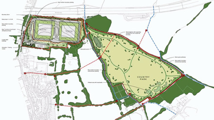
The new location plan service will allow applicants to easily draw the application site 'red line' boundary on a map, after finding the site address using the postcode search (or the location by entering a grid reference). Alternatively, the applicant can upload a GeoJSON file. This new service can be used as an alternative to purchasing a location plan elsewhere, offering an easy, integrated solution.
Once the application is submitted, the Local Authority will receive this boundary information as location data (GeoJSON format). The shift from 'documents' to 'data' is a key tenet of the UK Government's objective to digitise and standardise planning processes nationwide.
However, until the legislation is changed and Local Authority systems can utilise the data, Planning Portal will automatically create a location plan PDF, showing the boundary and meeting all current policy requirements that will also be received by the Local Authority as a separate supporting document.
The location plan feature will be available from 2 May, for all applications in England that require a location plan.
More information can be found here and here.


